Why there are so many problems with the Armenia-Azerbaijan ‘new-old border’
The trilateral agreement signed by Armenia, Azerbaijan and Russia stopped the war in Karabakh on November 10, 2020 and drew the general outlines of a future peace treaty.
However, both sides immediately began to interpret the text of the statement in their own way.
- Op-ed: why Azerbaijan needs the deployment of Turkish troops in Karabakh
- Op-ed: the Georgian-Abkhaz conflict through the prism of the second Karabakh war
- Armenian opposition: country needs one more Russian military base
The main dispute has erupted around the question: where is the border between Azerbaijan and Armenia? The solution to another important problem depends on the answer to this question: to which borders should Armenia now withdraw its troops?
The problem of the state border between Azerbaijan and Armenia has turned out to be quite complicated due to several problems, primarily related to history.
Let’s analyse each one.
History of the Karabakh conflict
After the first Karabakh war (1989-1994), seven regions of Azerbaijan around Nagorno-Karabakh came under the control of Armenian forces. For the next 30 years, the border between Armenia and the unrecognised Nagorno-Karabakh Republic was conditional, and checkpoints were established quite arbitrarily.
Borders between republics in the Soviet Union were drawn based on the borders of the Russian Empire
Within the Soviet Union, administrative boundaries were never constant. The boundaries of the subjects of the USSR, that is, the union republics, were mainly drawn on the basis of the boundaries of the provinces and counties of the Russian Empire. And how they were drawn, perhaps only God and the Russian Tsar knew.
After the split of the empire, several states were formed on its ruins that declared their independence, including Georgia, Armenia and Azerbaijan.
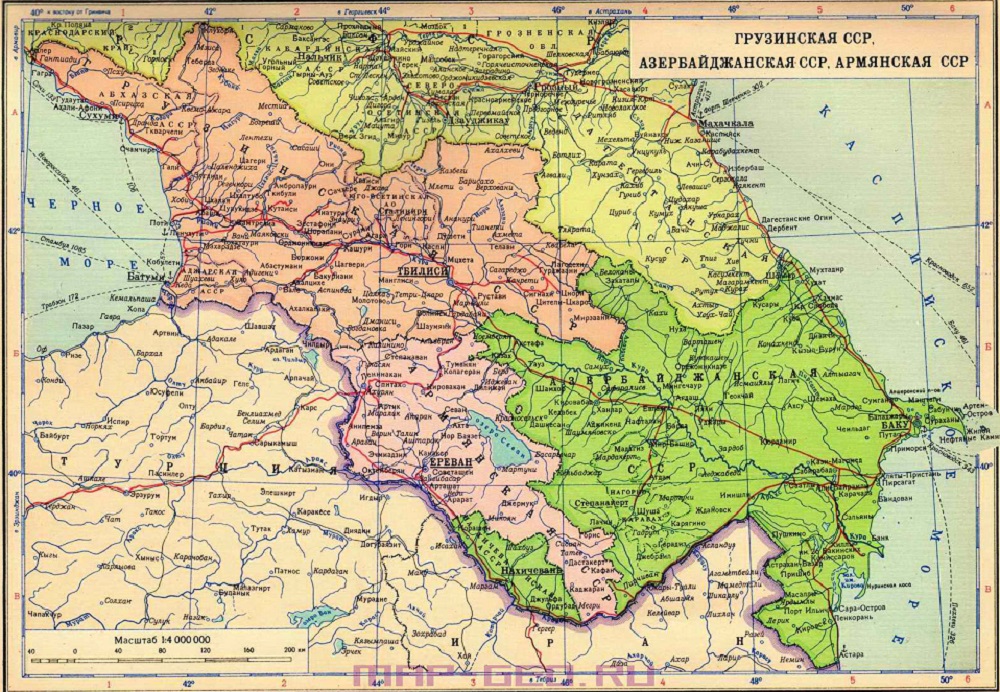
From the very first day, all three countries began presenting territorial claims against one another, because the old borders of the imperial districts of the 19th century did not take into account the ethnic composition of the population.
In particular, Azerbaijan and Armenia argued over three regions: Nakhichevan, Zangezur and Karabakh.
After the intervention of the Red Army in 1920-21, all the countries of the South Caucasus returned to Russia again, but under a new ‘brand’ – the USSR. And the territorial disputes were quickly and in their own way resolved by the Bolsheviks.
Nakhichevan and Karabakh went to Azerbaijan as autonomous republics.
The Zangezur district of the former Elizavetpol (Ganja) province was divided between Armenia and Azerbaijan. The eastern part became part of Azerbaijan. And Western Zangezur, with a predominantly Armenian population, after a tough armed struggle, became part of Armenia.
But the problems didn’t end there.
Formal and non-permanent administrative boundaries in the USSR
Administrative boundaries between the subjects of the Soviet Union were largely formal. Often, Moscow, in its own way, acting with political or economic considerations in mind, created new union republics or abolished old ones, changed the borders between them, raised or lowered the status of autonomous areas.
This happened with Abkhazia, which initially received the status of a union republic, and then was changed to the status of an autonomous republic within the Georgian union republic.
And Crimea was transferred from the Russian Union Republic to the Ukrainian one.
The exchange of territories between neighboring Union republics was carried out simply, since in Moscow they thought: “What’s the difference if the country is one and the same?”
Such a correction of the administrative boundary between Azerbaijan and Armenia was carried out three times: in 1929, 1935 and 1984.
This was justified by the desire to “optimize” agricultural management.
After the creation of collective farms in the USSR, it sometimes turned out that the village was on the territory of Armenia, and the lands cultivated by the peasants were on the territory of Azerbaijan. And vice versa.
This is how the enclaves of Artsvashen / Bashkend, Voskepar / Askipara, Kyarki / Tigranashen appeared.
The territories of the Gazakh region were transferred to Armenia, the territories of the Goris region – to Azerbaijan.
How do Azerbaijan and Armenia propose to get out of this multilevel problem?
Baku – return to maps of the Soviet period
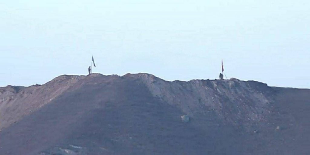
Now, after Azerbaijan has regained control over these areas according to the military results of the war and a tripartite statement, Baku insists that Armenian troops should withdraw to the borders of 1988 – that is, return to the administrative border between the Armenian and Azerbaijani republics within the Soviet Union.
Yerevan – take into account new realities and investments made in the development of districts
Armenia claims that over the past years, villages have expanded, new roads have been built, and the development of minerals has begun. Yerevan proposes these new realities be taken into account.
Russia has not offered solutions yet
So far, it seems that the third party, Russia, turned out to be somewhat unprepared for this turn of events. The November 10 statement said nothing about the state border.
Both sides, together with Russian peacekeepers, are trying, using old Soviet topographic maps and GPS devices, to mark on the ground the “old” border between Armenia and Azerbaijan, which should become the “new” one in the future and be officially recognised by the two independent states.
But this process requires clarifications and changes, and is accompanied by many excesses. In particular, one of the Armenian villages will actually be divided in half.
Similar situations with the Azerbaijani-Russian and Azerbaijani-Georgian borders
Several years ago there were similar problems on the Azerbaijani-Russian border.
Two villages were administratively on the Azerbaijani side of the border, but were subordinate to the Dagestan state farm.
In 2010, Azerbaijan and Russia completed the process of border delimitation and both villages remained in Azerbaijan.
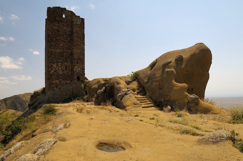
But with Georgia, Azerbaijan is still unable to complete the delimitation process. The main controversy surrounding the monastery complex David Gareji / Keshikchidag.


